
Industries We Serve
✦
Industries We Serve ✦
Professional drone solutions for landowners, agriculture, construction, public safety, and commercial clients throughout Virginia.
Built for Real-World Problems
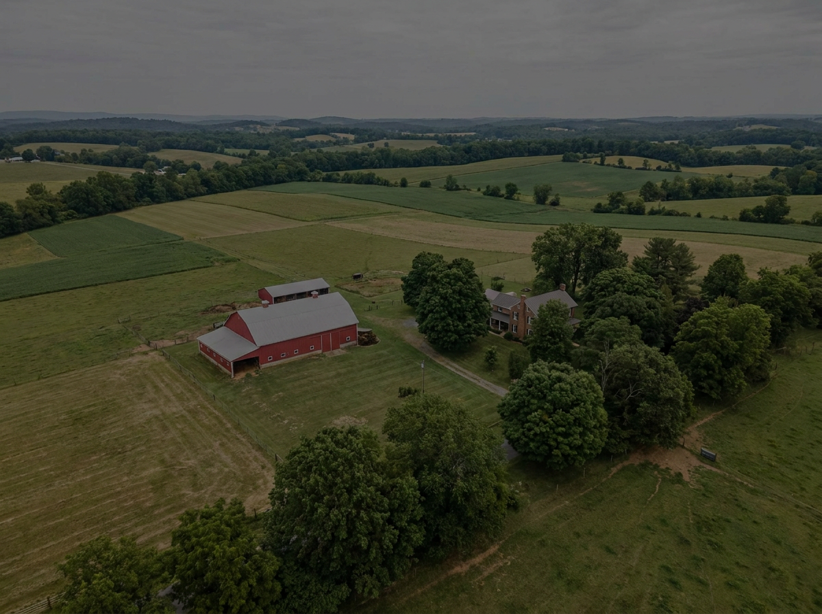
HI POINT DRONE provides aerial solutions designed to help clients save time, improve visibility, access difficult terrain, and make better decisions from above
Precision aerial support for crop management, spraying, mapping, pasture monitoring, and land improvement.
AGRICULTURE
LANDOWNERS
Aerial solutions for large properties, deer recovery, pet recovery, wildlife monitoring, property searches, land management, deer herd analysis,
PUBLIC SAFETY
Thermal imaging, search support, overwatch, mapping, and mission-focused aerial assistance for agencies and emergency operations.
CONSTRUCTION
Progress photos, site mapping, roof inspections, stockpile visibility, and documentation for contractors and property managers.
REAL ESTATE & PROPERTY
Improve Visibility
See large properties, crop areas, structures, and terrain from above.Save Time
Cover more ground faster than traditional inspection or search methods.Access Difficult Areas
Reach woods, fields, rooftops, wetlands, and remote areas safely.Deliver Better Information
Use aerial imagery, thermal data, and mapping to support better decisions.
Farmers
Landowners
Hunting property owners
Construction companies
Real estate professionals
Municipal agencies
Emergency services
Property managers
Commercial businesses
Wildlife managers
High-quality aerial imagery, property videos, land mapping, estate marketing, and visual documentation for listings and large properties.
How We Help
Who We Work With
Need Aerial Support for Your Industry?
Tell us about your project, property, or mission. We’ll recommend the right aerial solution.